
Do Cruise Ships Ever Get Lost?

People sometimes watch a cruise ship swing wide off its planned line, arrive late, or slow down near land and wonder the same thing: did the ship get lost? It is a fair question, especially if you are used to roads, exits, and phone maps. At sea, though, navigation works differently. A course change usually means the bridge team is adapting to traffic, weather, port timing, or local instructions, not that the ship has no idea where it is.
The short answer is that modern cruise ships do not simply wander around hoping they are headed the right way. They use layered navigation systems, detailed voyage planning, experienced bridge officers, and often local pilots in confined waters. If you want context for how ships and itineraries fit together, the main SeaDays cruise hub, the ships section, and the ports guides are useful places to keep exploring.
What getting lost really means at sea
On land, getting lost often means you no longer know where you are. At sea, that is rarely the actual problem. A ship can know its exact position and still alter course for perfectly normal reasons. Winds may build, a traffic separation scheme may require a different lane, a port may ask vessels to slow down, or the captain may change speed to arrive at the pilot station at the right time.
That distinction matters. A ship that changes course is not automatically confused. In fact, professional navigation is built around constant small corrections. The bridge team expects current, swell, visibility, and nearby traffic to change over time. The planned route is a framework, not a railroad track.
There is also a difference between being delayed and being lost. If a ship arrives late after rough seas or congestion near a canal, that can look dramatic from the outside. But delay is usually an operational issue, not a navigation failure. Cruise lines build routes, speeds, and fallback procedures with exactly these realities in mind.
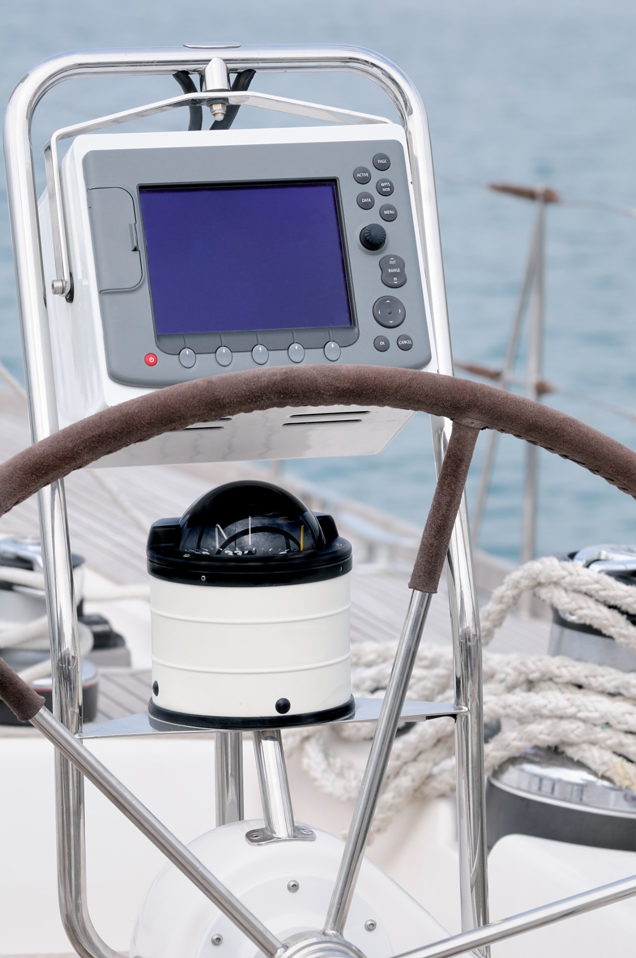
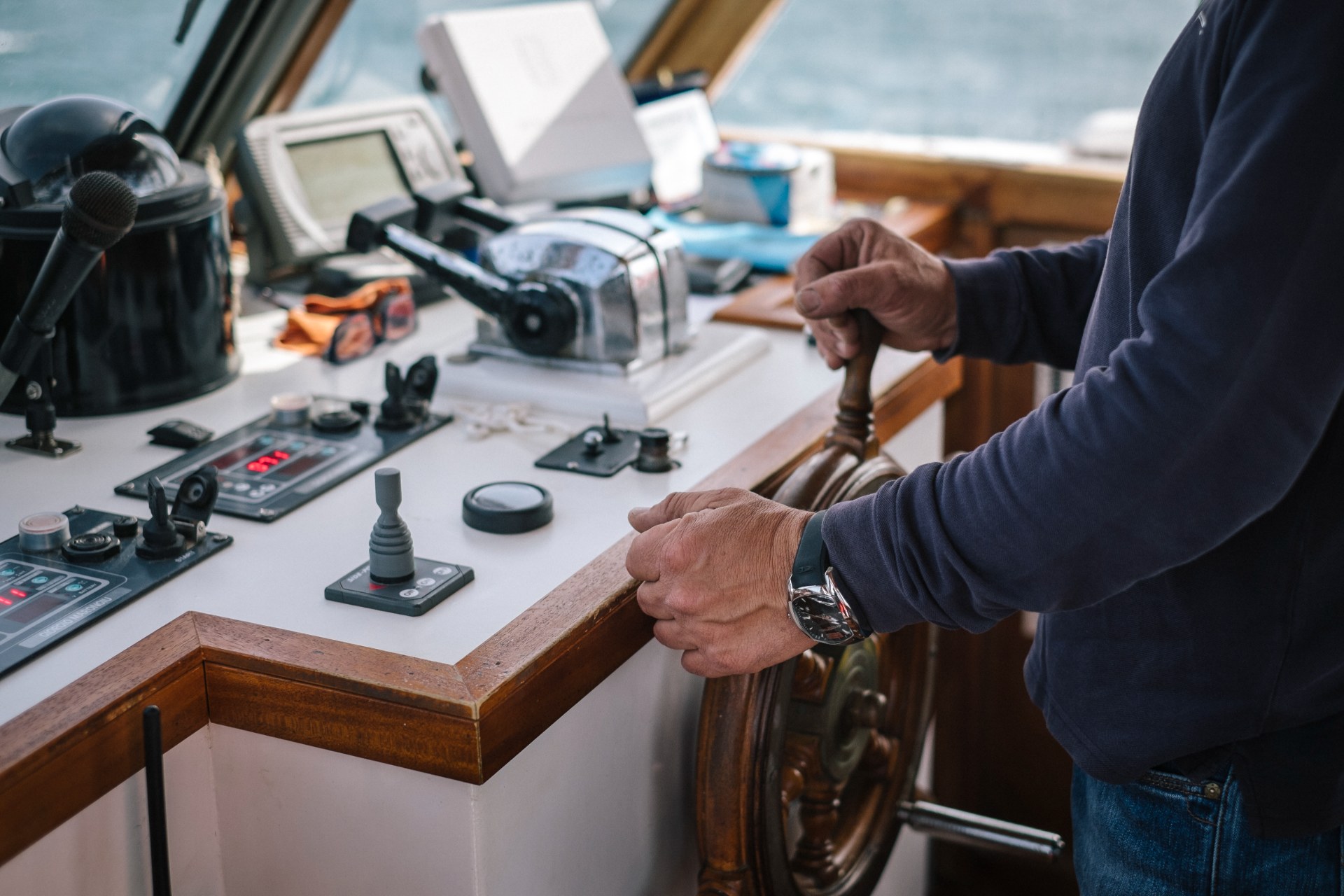
How cruise ships know where they are
The foundation is satellite positioning, usually described casually as GPS, though ships often use broader GNSS inputs rather than a single satellite source. That gives the bridge team a highly accurate fix of the ship's position, speed, and course over ground. But professionals do not rely on one screen and call it done.
Electronic chart systems, commonly referred to as ECDIS, display the ship on official chart data and show the approved route, hazards, depth information, traffic lanes, waypoints, and alarms. ECDIS is one of the main reasons the old image of a ship navigating with little more than a paper chart and a hopeful glance at the horizon no longer matches daily cruise operations.
Radar adds another layer. It helps the bridge detect land, buoys, weather cells, and nearby vessels, especially when visibility is limited. Radar is not just for fog. Even on a clear day, it gives officers independent confirmation of what is around them and how targets are moving. If the electronic chart says one thing and radar suggests another picture, the team investigates.
Ships also use heading sensors, gyrocompasses, speed logs, depth sounders, and visual references where available. The key point is redundancy. Marine navigation works because officers cross-check systems instead of trusting a single source. If one input becomes questionable, others remain available.
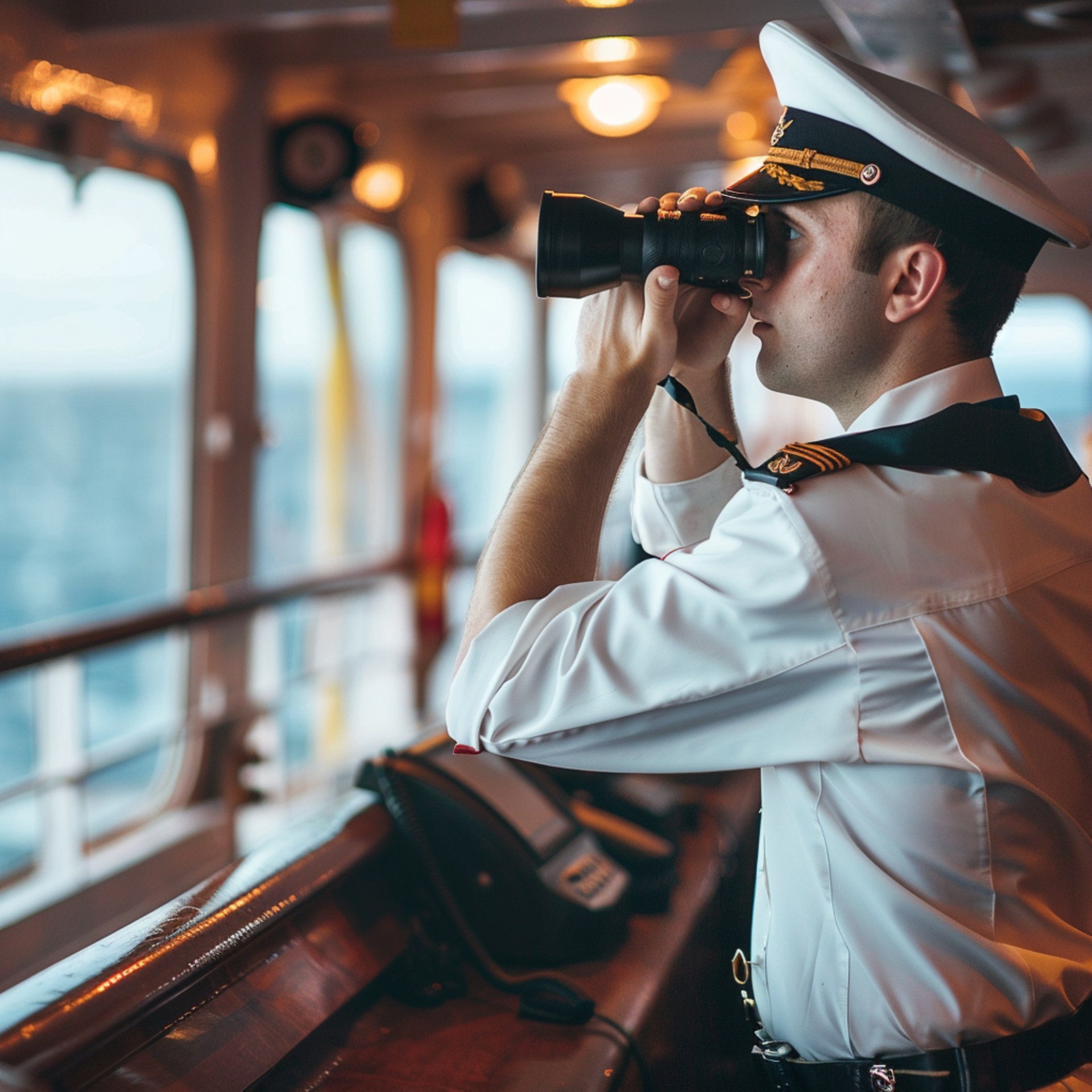
Why the bridge team matters as much as the equipment
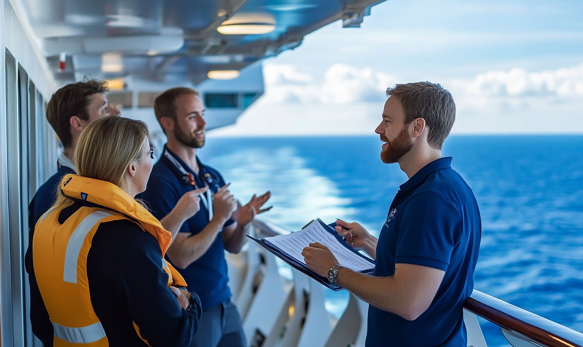
Technology is powerful, but a cruise ship is not navigating itself in the simple consumer sense. The bridge is staffed by trained officers who plan the voyage, monitor the route, manage watchkeeping, and verify that the ship stays within safe margins. The captain, staff captain, and watch officers all play a role, and bridge resource management is designed so decisions are not isolated inside one person's head.
Before the ship sails, officers review the voyage plan in detail. That includes the departure track, open-water route, arrival sequence, speed profile, traffic schemes, under-keel clearance considerations, weather expectations, and contingency points. The route is not just typed into a system and forgotten. It is checked, briefed, and monitored.
While underway, officers continuously compare the real situation to the plan. Is the current stronger than expected? Is the ship set slightly off track by wind? Has another vessel created a close-quarter situation? Does the port want arrival delayed by twenty minutes? These are normal bridge questions. The safest answer often involves small, deliberate adjustments that passengers never notice unless they are following a map very closely.
That is why a well-run bridge can look calm even when many decisions are being made. The absence of drama is usually a sign that the system is working.
Why local pilots are used near ports and channels
When a large cruise ship approaches a busy harbor, narrow river, or especially constrained channel, a local marine pilot often boards. This does not mean the ship's officers suddenly do not know what to do. It means the ship is adding highly specific local knowledge to an already capable team.
Pilots know the fine details of their area: current quirks, dredged channel behavior, tug practices, berth approaches, traffic patterns, and port authority preferences. On a global ship that visits many regions, that local expertise is extremely valuable. The pilot advises, the bridge team executes, and the captain remains in command.
For passengers, pilot boarding can make movements look unusual. A ship may slow far offshore, hold position, or trace what seems like an odd path. In reality, that often reflects port sequencing and pilot logistics, not uncertainty. The ship is waiting for the safest and most efficient slot.
Why course changes do not mean a ship is lost
The most common reason passengers think something is wrong is because the ship does not follow the exact line they expected. But at sea, route management is dynamic. Weather avoidance is a major factor. If the bridge shifts south of a storm band or takes a smoother angle into swell, that is seamanship, not confusion.
Traffic is another big reason. Commercial shipping lanes, fishing fleets, naval activity, restricted areas, and port queues all affect movement. Cruise ships must obey collision regulations and regional routing systems. A detour can be the correct response to what is happening around the ship, not evidence of a problem on board.
Timing matters too. Arriving too early can be as inconvenient as arriving too late. If a berth is still occupied or a pilot window opens later, the captain may reduce speed or adjust the approach. Guests might read that as wandering. The bridge reads it as efficient arrival management.
Even itinerary changes do not automatically point to navigation trouble. If a ship skips a port, the cause is usually weather, swell conditions at tender ports, mechanical caution, port congestion, or a safety decision. Cruise lines may disappoint guests with a change, but they are usually making a controlled operational choice rather than reacting to being lost.
Can navigation systems fail?
Any single system can fail, which is exactly why ships are designed around overlapping layers. Satellite signals can degrade. A display can malfunction. Weather can limit visual cues. Radar can require interpretation. But maritime practice assumes this and builds procedures around it. Officers cross-check position, compare sensors, use backup methods, and escalate concerns early rather than late.
That is also why drills, procedures, and watchkeeping standards matter so much. Safe navigation is not just a hardware story. It is a professional discipline. Cruise ships sail some of the world's busiest routes, and the reason that works day after day is that modern navigation combines equipment, planning, and human judgment.
If you enjoy practical cruise explainers, the SeaDays blog is a good next step because many ship operations that look mysterious from deck level turn out to be normal once you understand the system behind them.
FAQ

Do cruise ships use GPS only?
No. Satellite positioning is central, but ships also use ECDIS, radar, gyrocompasses, speed logs, charts, depth data, and officer cross-checks. Safe navigation depends on multiple inputs, not one device.
Why does a cruise ship sometimes stop or slow down offshore?
Often because it is waiting for a pilot, berth availability, port clearance, or the right arrival window. That can look strange from a balcony, but it is usually routine traffic and timing management.
Can bad weather make a ship lose its position?

Bad weather can complicate operations, but it does not usually make a modern cruise ship forget where it is. It is more likely to trigger route adjustments, speed changes, or port cancellations.
Who is responsible for navigation on a cruise ship?
The captain has overall command, supported by bridge officers and watchkeepers. In certain local waters, a marine pilot also advises the ship during arrival or departure.
Has a course change ever meant something serious?
Sometimes course changes relate to medical diversions, weather avoidance, or operational concerns, so they can be important. But a course change by itself is normal and does not mean the ship is lost.


